Sister
Grove Park
GIS Trail Map
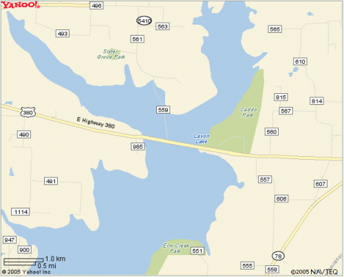
Sister Grove Park is located on the edge of the Lake Lavon floodplain. This trail is easy to find, as you will turn north on the bridge connected to the Hwy. 380 bridge. This ride is approximately 6 miles, and is split into two halves, being the Lake Loop, and the Sister Grove Loop. We have included two maps, one with elevation data, for those who are interested in that info, and one with just the aerial photograph, which has a little less clutter. This trail is a fun ride, with a few tricky parts near the end of the Sister Grove Loop. For a fun day, drive down Hwy. 380 when you're finished here, and ride Erwin Park for a complete workout.